Checked
Paddling, canoeing and kayaking in London
London, Ontario, Canada
London Thames River access locations, the Harris Park closure, City improvement sites, water-level checks and trip planning.
Key information
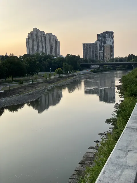
Choose a public shore access and check river conditions before planning a Thames River paddle. Harris Park’s access is closed until May 2027 because of Queens Bridge work. The two Paddle Access asset records are not a complete list of river entrances.
On this page
The directory at a glance
- 1139 Hamilton Rd1 asset records
- 745 Windermere Rd1 asset records
Counts describe the captured inventory, not today’s available places. Several records can belong to one park. Public service pages may use newer names, different entrances or a different count. Those differences are explained where known.
Sources: City Park Amenities inventory, captured October 13, 2026 · City of London open data terms
Find the locations on a map
Location data: City Park Amenities inventory, captured October 13, 2026. Google Maps displays one selected place at a time. An inventory position may be inside a site rather than at its visitor entrance.
Sources: City Park Amenities inventory, captured October 13, 2026 · City of London open data terms
River access sites named in the City Paddling Plan
Quick comparison and full source records
| Site | River section | Project and access note |
|---|---|---|
| Greenway | Main Branch | Natural access improvement site |
| Blackfriars | Forks | Natural access improvement site |
| Gibbons | North Branch | Natural access improvement site |
| North London Athletic Fields | North Branch | Natural access improvement site |
| Chelsea Green | South Branch | Natural access improvement site |
| Vauxhall | South Branch | Natural access improvement site |
| Windermere Fields | North Branch | Accessible access work listed for 2026; confirm completion |
| Pottersburg Dog Park | South Branch | Accessible access completed in 2025 per project update |
| Harris Park | Forks | Closed until May 2027 under current City notice |
| Riverside Boat Launch Park | Main Branch | Further work anticipated in 2027 to 2028; not a confirmed completion date |
This is the full set of named sites in that project update, not a claim that every informal bank or boat launch is open. Follow the City shore-access map and signs. Access through private land is not allowed without permission.
Greenway
50 Greenside Ave
Greenway: Main Branch. Natural access improvement site.
- River section
- Main Branch
- Project and access note
- Natural access improvement site
This map identifies the named area, not a confirmed launch point or an open route to the water. Use the City access plan and current closure notices.
Sources: City paddling locations, closures and water-level guidance · City Paddling Plan access improvements
Blackfriars
2 Cummings Ave
Blackfriars: Forks. Natural access improvement site.
- River section
- Forks
- Project and access note
- Natural access improvement site
This map identifies the named area, not a confirmed launch point or an open route to the water. Use the City access plan and current closure notices.
Sources: City paddling locations, closures and water-level guidance · City Paddling Plan access improvements
Gibbons Park
2a Grosvenor St
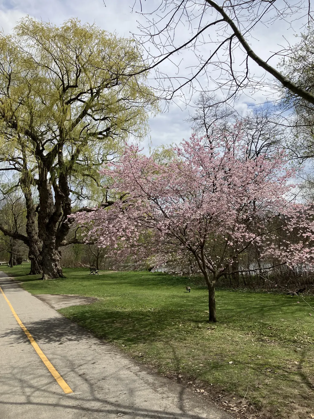
Gibbons Park sits beside the Thames River and connects with the Thames Valley Parkway. The park supports walking and several other activities.
The directory details describe the facilities relevant to this guide. Pool sessions and other seasonal facilities have separate opening arrangements. A map point within the park is not necessarily the best entrance for your activity.

- River section
- North Branch
- Project and access note
- Natural access improvement site
This map identifies the named area, not a confirmed launch point or an open route to the water. Use the City access plan and current closure notices.
Sources: City park visitor information
North London Athletic Fields
Street address not recorded in the source
North London Athletic Fields: North Branch. Natural access improvement site.
- River section
- North Branch
- Project and access note
- Natural access improvement site
This map identifies the named area, not a confirmed launch point or an open route to the water. Use the City access plan and current closure notices.
Sources: City paddling locations, closures and water-level guidance · City Paddling Plan access improvements
Chelsea Green
1 Adelaide St S
Chelsea Green: South Branch. Natural access improvement site.
- River section
- South Branch
- Project and access note
- Natural access improvement site
This map identifies the named area, not a confirmed launch point or an open route to the water. Use the City access plan and current closure notices.
Sources: City paddling locations, closures and water-level guidance · City Paddling Plan access improvements
Vauxhall
54 Price St
Vauxhall: South Branch. Natural access improvement site.
- River section
- South Branch
- Project and access note
- Natural access improvement site
This map identifies the named area, not a confirmed launch point or an open route to the water. Use the City access plan and current closure notices.
Sources: City paddling locations, closures and water-level guidance · City Paddling Plan access improvements
Windermere Fields
Street address not recorded in the source
Windermere Fields: North Branch. Accessible access work listed for 2026; confirm completion.
- River section
- North Branch
- Project and access note
- Accessible access work listed for 2026; confirm completion
This map identifies the named area, not a confirmed launch point or an open route to the water. Use the City access plan and current closure notices.
Sources: City paddling locations, closures and water-level guidance · City Paddling Plan access improvements
Pottersburg Dog Park
Street address not recorded in the source
Pottersburg Dog Park: South Branch. Accessible access completed in 2025 per project update.
- River section
- South Branch
- Project and access note
- Accessible access completed in 2025 per project update
This map identifies the named area, not a confirmed launch point or an open route to the water. Use the City access plan and current closure notices.
Sources: City paddling locations, closures and water-level guidance · City Paddling Plan access improvements
Harris Park
531 Ridout Street North
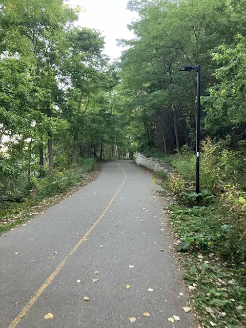
Harris Park is a riverside park near downtown London and a venue for outdoor events. Paths and access can change during events and construction.
The City’s current paddling notice closes the Harris Park river access until May 2027 for Queens Bridge work. Do not treat a boat-access inventory record as an open launch.

- River section
- Forks
- Project and access note
- Closed until May 2027 under current City notice
This map identifies the named area, not a confirmed launch point or an open route to the water. Use the City access plan and current closure notices.
Sources: City park visitor information · City paddling access closure · City parks inventory and location data · City open data terms
Riverside Boat Launch Park
Street address not recorded in the source
Riverside Boat Launch Park: Main Branch. Further work anticipated in 2027 to 2028; not a confirmed completion date.
- River section
- Main Branch
- Project and access note
- Further work anticipated in 2027 to 2028; not a confirmed completion date
This map identifies the named area, not a confirmed launch point or an open route to the water. Use the City access plan and current closure notices.
Sources: City paddling locations, closures and water-level guidance · City Paddling Plan access improvements
Sources: City paddling locations, closures and water-level guidance · City Paddling Plan access improvements
The two recorded Paddle Access assets
Quick comparison and full source records
| Facility and record ID | Recorded address | Recorded details |
|---|---|---|
| Pottersburg Park - East Paddle Access #1 (GIS 4597)Map of Pottersburg Park - East Paddle Access #1 (GIS 4597) | 1139 Hamilton Rd | Paddle Access |
| Windermere Fields Paddle Access #1 (GIS 4605)Map of Windermere Fields Paddle Access #1 (GIS 4605) | 745 Windermere Rd | Paddle Access |
Pottersburg Park - East
1139 Hamilton Rd
Pottersburg Park - East has the paddle access records listed below in the City inventory. The complete table retains each separate asset name and source ID.
- Source assets
- 1 record in this guide. Full name and ID are in the comparison table.
- Asset types
- Paddle Access
- Recorded owner
- Not recorded
Inventory points identify assets, not entrances or current availability. City, school and private records have different access rules. A listing does not give permission to use the site.
Sources: City Park Amenities inventory, captured October 13, 2026 · City of London open data terms
Windermere Fields
745 Windermere Rd
Windermere Fields has the paddle access records listed below in the City inventory. The complete table retains each separate asset name and source ID.
- Source assets
- 1 record in this guide. Full name and ID are in the comparison table.
- Asset types
- Paddle Access
- Recorded owner
- Not recorded
Inventory points identify assets, not entrances or current availability. City, school and private records have different access rules. A listing does not give permission to use the site.
Sources: City Park Amenities inventory, captured October 13, 2026 · City of London open data terms
These are asset records, not a live opening list. Separate courts and fields at one park have separate rows. The recorded park address may differ from the entrance. Unknown details are left unknown. This list does not cover every private, school or commercial facility.
Sources: City Park Amenities inventory, captured October 13, 2026 · City of London open data terms
Check water levels, closures and your route
- Access
Confirm an open public launch and a legal exit.
- Conditions
Read current flow guidance and the forecast.
- Trip plan
Match the route and equipment to the group.
The City directs paddlers to UTRCA flow information because the Thames can be too low or too high. A low reading can still mean shallow obstructions, and a high reading can create fast, dangerous flow. A map pin cannot judge whether conditions suit your ability.
Check the same river section you intend to use, the weather and the route out. The City describes a boating-ban threshold of 235 cubic metres per second at the Byron gauge. Being below that threshold does not establish that a trip is safe.
Sources: City paddling locations, closures and water-level guidance · UTRCA canoeing and kayaking guidance
Equipment, rentals and access needs
The City does not rent canoes or kayaks. Its page says other operators, including UTRCA, may offer reservoir rentals at certain times. Confirm the actual season, hours, age rules and waterbody with the operator before travelling.
Carry the safety equipment required for your craft under Transport Canada’s rules and use a properly fitted lifejacket. Ask about the full route from parking to the water, transfer needs and exit conditions. An improved launch is not a guarantee that the whole river trip is accessible.
Sources: City paddling locations, closures and water-level guidance
Printed maps and river care
The City lists Fish and Paddle Guide pickup points at the Tourism London Welcome Centres at 696 Wellington Road and 391 Wellington Street, UTRCA’s Watershed Conservation Centre, London’s Paddling Shop and Angling Sports. Ask whether copies are available before making a special trip.
Use an updated closure notice alongside a printed guide. Keep waste with you, avoid disturbing wildlife and do not make a new route down a sensitive bank. The river is a shared natural place, not an obstacle course maintained to remove all hazards.
Sources: City paddling locations, closures and water-level guidance
Paddling questions
Can I launch at Harris Park now?
The City notice checked October 13, 2026 says the Harris Park paddling access is closed until May 2027 because of Queens Bridge construction.
Source: City paddling locations, closures and water-level guidance
Are there only two river access points in London?
No. The Paddle Access asset category has two records. The City shore-access map and Paddling Plan describe a wider set of access sites.
Does the City rent canoes or kayaks for the Thames?
No. The City does not rent them. Other operators may offer reservoir rentals at certain times. Confirm the operator, waterbody, season, hours and age rules rather than assuming a river access point includes hire.
Source: City paddling locations, closures and water-level guidance
Where should I check Thames River conditions before paddling?
Use the City’s current paddling guidance and UTRCA flow information for the river section you plan to use. Check weather, closures and the route out. A map location cannot establish whether conditions suit your ability.
Source: City paddling locations, closures and water-level guidance
Does being below the boating-ban threshold mean paddling is safe?
No. Low water can expose shallow obstructions, and higher flows can be fast and dangerous. A threshold is not a personal safety assessment. Consider the section, conditions, equipment and your ability together.
Source: City paddling locations, closures and water-level guidance
Can I launch from any riverbank shown on a map?
No. Use the City shore-access map, official signs and current closure notices. A nearby bank may be private, sensitive or unsuitable. An informal path does not establish permission or a usable launch.
Source: City paddling locations, closures and water-level guidance
Does an improved launch make the full paddling trip accessible?
No. The route from parking, transfer into the craft, water conditions and exit all need separate checks. Describe your equipment and support needs when asking about a launch and the whole journey.
Source: City paddling locations, closures and water-level guidance
Where can I ask for a printed Fish and Paddle Guide?
The City lists Tourism London Welcome Centres, UTRCA’s Watershed Conservation Centre, London’s Paddling Shop and Angling Sports as pickup points. Ask whether copies are available before making a special trip.
Source: City paddling locations, closures and water-level guidance
Can I rely only on a printed paddling map?
No. Use it alongside current closures and river conditions. Construction or access changes can occur after printing. Choose both an entry and a workable exit, and respect signs at the site.
Source: City paddling locations, closures and water-level guidance
What equipment rules should I check for my canoe or kayak?
Use the Transport Canada requirements linked from the City guidance for your type of craft. Carry the required equipment and use a properly fitted lifejacket. Equipment requirements and the suitability of the river conditions are separate checks.
Source: City paddling locations, closures and water-level guidance